NAIROBI, Kenya Oct 8 – El Niño is expected to reach its peak in December, with sea-surface temperatures in the central and eastern tropical Pacific forecast to hit record levels in what could become one of the strongest such events since at least 1950.
The World Meteorological Organisation (WMO) said the phenomenon is continuing to intensify and is expected to persist through February 2027, with its latest forecasts showing a near-100 per cent likelihood of its continuation during the period.
“El Niño is firmly established and strengthening rapidly,” WMO Secretary-General Celeste Saulo said in the latest global seasonal climate update.
The agency said the Niño 3.4 sea-surface temperature anomaly a key measure of El Niño conditions is forecast to reach approximately 3.7 degrees Celsius above average between October and December, peaking around December.
If realised, this would be the highest level recorded since observations began and would surpass the previous record of 2.6°C, recorded between November 2015 and January 2016.
The strengthening El Niño is expected to influence weather patterns across the world, increasing the likelihood of extreme heat as well as shifting rainfall patterns, with some regions facing heightened risks of drought while others could experience flooding.
WMO forecasts indicate above-average temperatures across large parts of the globe during the October-December period. The agency cautioned, however, that the seasonal outlook does not mean every location will experience warmer conditions every day, but signals an increased likelihood of heat extremes.
Rainfall patterns are also expected to shift significantly.
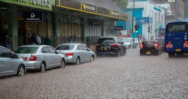
The WMO projects a wetter-than-normal season across the Greater Horn of Africa, as well as parts of Central Asia, coastal East Asia, the northern Arabian Peninsula, parts of North America and southeastern South America.
Drier-than-normal conditions, meanwhile, are forecast over the Indian subcontinent, southern Central America, parts of the Caribbean and northwestern South America.
The agency said the current El Niño conditions are being reinforced by other oceanic patterns, including a positive Indian Ocean Dipole, which is expected to peak in October before declining.
The Niño 3.4 index has already risen sharply, moving from an average 1.6°C above normal in June to 2.5°C above normal in August, according to WMO.
Ms Saulo said the phenomenon does not create new heat but releases heat that has been stored beneath the ocean surface.
She said the ocean from which El Niño is drawing this heat is itself the warmest ever measured, meaning there is more heat available to be released into the atmosphere.
WMO said the strengthening event will have implications for economies, ecosystems and communities, and urged countries to use the forecasts to strengthen preparedness and risk management.
National meteorological and hydrological services, regional climate outlook forums and humanitarian agencies are already working with WMO to provide updates to decision-makers and prepare for the potential impacts of the event.
The agency said the forecasts should be used alongside national and local weather information because the global seasonal outlook indicates broad climate patterns rather than conditions that will occur at every location.