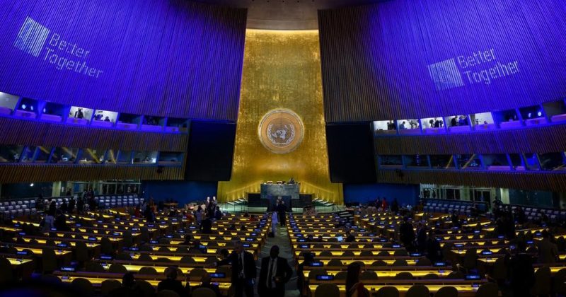
NAIROBI, Kenya, Sep 5 — Africa has secured a major victory at the United Nations, with the General Assembly adopting a Togo-led resolution calling for more accurate representation of the continent’s true size on world maps.
The resolution, titled “Correct the map: rebalancing global cartographic representation and promoting equitable representation of the world’s regions, particularly Africa,” was adopted on Friday by 164 votes in favour to one against, with six abstentions.
The United States was the sole country to vote against the resolution, while Estonia, Georgia, Lithuania, Moldova, Serbia and Ukraine abstained. African states backed the resolution unanimously.
The resolution calls for wider use of equal-area map projections, particularly the Equal Earth projection, in contexts where the comparative size of continents matters.
Togo introduced the text on behalf of the Group of African States, arguing that distortions in commonly used world maps, particularly the Mercator projection, have contributed to a diminished perception of Africa and other equatorial regions.
Togo’s Foreign Affairs Minister Robert Dussey, who represented the country in the General Assembly, said the campaign was about correcting an established distortion rather than attacking a particular cartographic tradition.
“This discussion is not a political discussion [but] a scientific discussion, because there is scientific proof so we all have to accept the reality,” Dussey said ahead of the vote.
In a press release following the vote, UN noted the sponsors view the issue as more than a technical question of cartography, linking accurate mapping to cognitive justice, historical recognition and equitable representation.
The debate also focused on how maps influence education, public understanding, culture, geopolitics, development narratives and perceptions of Africa’s scale and potential.
“How do we represent the world? How do we teach it? How do generations learn to see our planet?” the Togolese representative asked the Assembly.
For centuries, the Mercator projection has been widely used in textbooks, media, digital platforms and official documents. But its method of representing the curved surface of the Earth on a flat map causes land masses nearer the poles to appear disproportionately large, while areas around the Equator appear smaller.
The distortion is particularly striking when Africa is compared with Greenland. The two can appear roughly comparable on the familiar Mercator map, yet Africa is about 14 times larger than Greenland.
The Equal Earth projection corrects that visual imbalance by preserving the relative surface areas of continents, providing a more accurate depiction of Africa’s true size.
The campaign therefore does not make Africa larger on a map. It makes Africa look closer to the size it actually is.
Togo’s representative told the Assembly that correcting the map was about recognising that every region deserved to be represented accurately and with dignity.
“A fair map does not change the geography of the world; it changes how we see the world,” he said.
Dussey has similarly argued that the time has come to challenge longstanding representations of the continent.
“To those who say why now, I say: why not?” Dussey said. “When we look at the world map … it is time for us to change the narrative.”
He also urged Africans to take responsibility for changing representations they can influence.
“It’s time for us in Africa to take responsibility to change what we can change ourselves.”
France support
France backed the initiative, with Foreign Minister Jean-Noël Barrot announcing that his country would move away from the Mercator projection in favour of representations more faithful to actual surface areas.
“We will abandon the Mercator projection in favour of map representations tailored to specific uses, more faithful to actual surface areas and in line with the recommendations of cartographers and scientists,” Barrot said.
France plans to use the Eckert IV projection, another equal-area map that is close to Equal Earth.
The United States, however, rejected the resolution, arguing that although it was presented as an effort to update cartography, it formed part of a broader ideological project.
The US representative criticised what she described as resolutions that distract from the UN’s core work, calling them “barnacles on our work here and the reason this institution is losing its credibility.”
Ukraine also raised objections to the Equal Earth projection, saying it depicts parts of its territory temporarily occupied by Russia in a manner it considers unacceptable.
Kyiv also argued that the representation was inconsistent with relevant General Assembly resolutions concerning the non-recognition of Russia’s attempted annexation of Crimea.
Speaking for the European Union, Ireland supported the objective of promoting more equitable and accurate cartographic representation, particularly for Africa.
However, the EU stressed that the resolution is limited to education, awareness-raising and geographical literacy and does not affect questions of sovereignty, territorial status, delimitation or internationally recognised borders.
The resolution is not legally binding and does not ban the Mercator projection. Instead, it encourages wider use of equal-area projections where the comparative size of continents matters.
Togo now intends to push the initiative beyond the UN vote, including efforts to encourage changes in educational materials and wider adoption of more accurate representations.